Contents
Index
Point Accuracies
The estimation of point accuracy in a cadastral network has been subject to much discussion over the years.
An error ellipse calculated from the adjustment may give a false estimate as it will be subject to the weighting of the observations etc.
What is required is some measure based on the parcels that influence the position of each point.
Point accuracy is calculated during the Adjustment
The process is as follows for each parcel in the network:
- Using the parcel dimensions, close and adjust the parcel by Bowditch.
- Use the adjusted dimensions to compute coordinates for all corners in the parcel based on a local coordinate system
- Use a least squares procedure to compute transformation parameters between the local coordinates and the real coordinates for each point in the parcel.
The transformation parameters will be scale, rotation, shift in X and shift in Y (Helmert Transform)
- Use the transformation parameters to transform each local point and record the differences between the transformed values and the real values.
This will give a measure of the error at each point in the parcel after we remove errors caused by the parcel scale and parcel orientation.
- Store these values at each point in the parcel. If there are values already stored in a point from a previous parcel that used the point, simply adopt the highest values.
From these values we can allocate an accuracy category for each point as follows:
- Category 1 - 0.001 metres
- Category 2 - 0.010 metres
- Category 3 - 0.020 metres
- Category 4 - 0.050 metres
- Category 5 - 0.200 metres
- Category 6 - 1.000 metres
- Category 7 - 10.00 metres
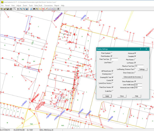
There is an option in the display settings to draw error vectors – this may be useful.
For information on parcel accuracies, see Accuracy Rules